Appalachian Landslide Consultants, PLLC is a fully insured and DBE certified woman-owned business. Our mission is to help protect life and property by identifying landslide hazards. The goal of landslide hazard identification is to assist both public and private property owners in assessing the risk and subsequent damage that may occur if landslides are present or likely triggered. We provide a range of services that achieves these goals. Please see our Services section to find out if we can help you achieve your goals.
Sincerely,
Jennifer Bauer & Stephen Fuemmeler
Owners of Appalachian Landslide Consultants, PLLC
We have updated our Landslide Maps of Western North Carolina map viewer to include all the areas completed by Appalachian Landslide Consultants, PLLC as well as showing the areas covered by NC Geological Survey landslide maps. Please check it out and let us know what you think.
What did Helene tell us about mountain roads and landslides?
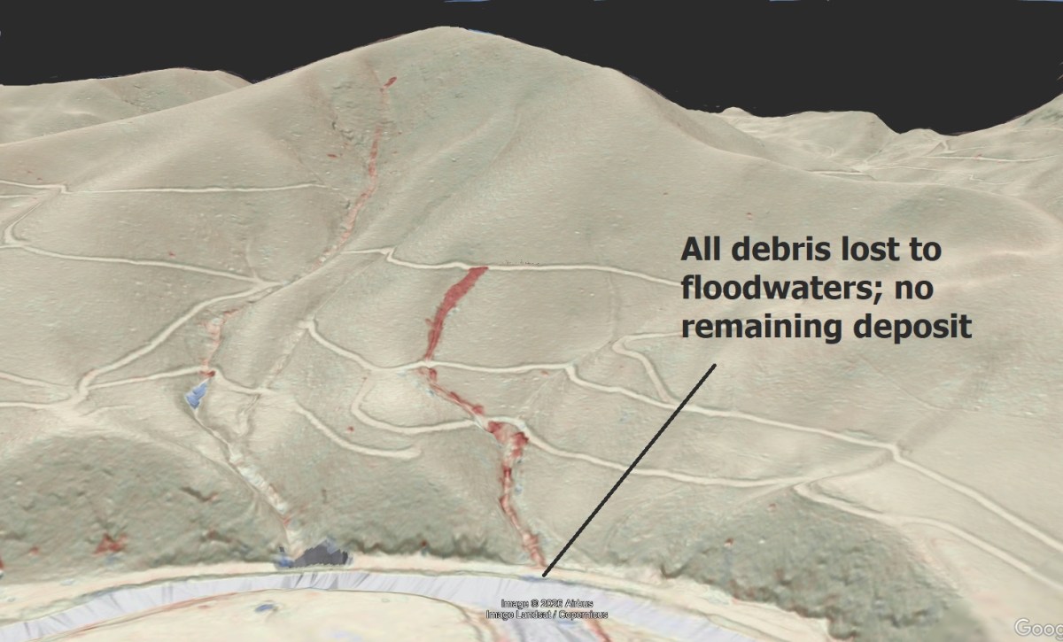
As more post-Helene lidar imagery is evaluated, we are beginning to understand just how many of Helene’s debris flows (and other landslide types) were triggered by road embankments. The Haywood County, NC, debris flow shown below is a particularly good example. The image shows a lidar change detection map draped over Google Earth, with red…
Lidar change detection shows where huge landslides have woken up and started moving
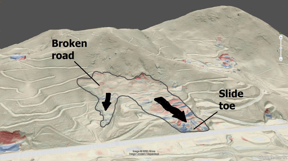
While fast-moving debris flow landslides pose the most immediate risk to human life in the North Carolina Mountains, huge, slow-moving landslides also cause plenty of problems for property and infrastructure. The gradual effects of these landslides (some of which may be hundreds of feet wide) on roads and homes can be devastating. Comparison of 2017…
Without LiDAR, we might have missed these HUGE but subtle Helene landslides
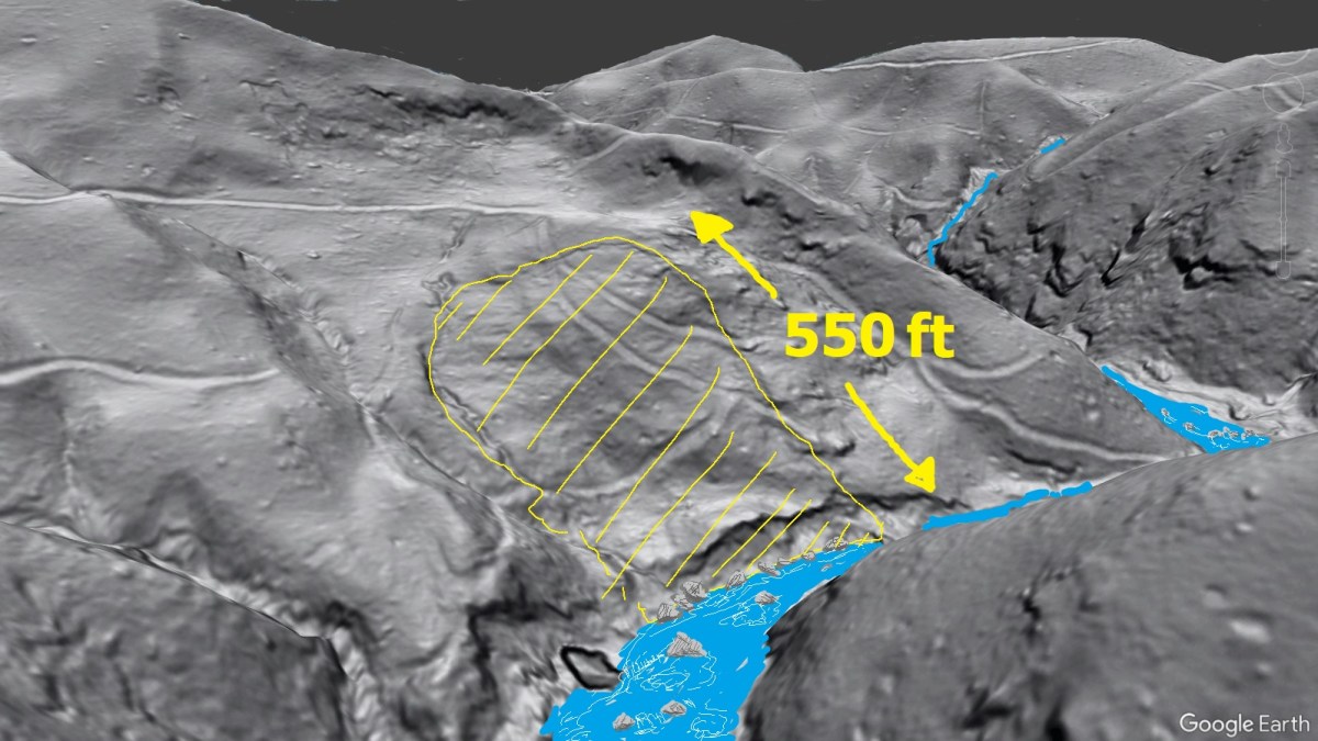
While Helene’s debris flows were the most devastating and acutely dangerous landslides of the storm, a significant number of large, slow-moving landslides were either reactivated or initiated by the extreme rainfall. This post shows two interesting reactivation examples. In both cases, erosion of an old slide toe by a flooding stream de-buttressed the slope to…
Field mapping of landslides is still important, even in the era of LiDAR and AI
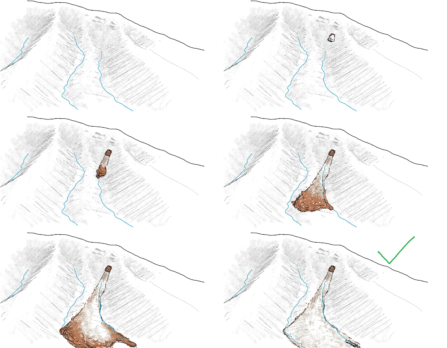
Estimating where landslide debris is going to come to rest is an important part of hazard delineation. LiDAR change detection imagery has made evaluating landslide runouts much easier, with color-coded loss and gain zones providing at-a-glance information about where slides started and stopped. The Haywood County, North Carolina, debris flow shown below is a great…