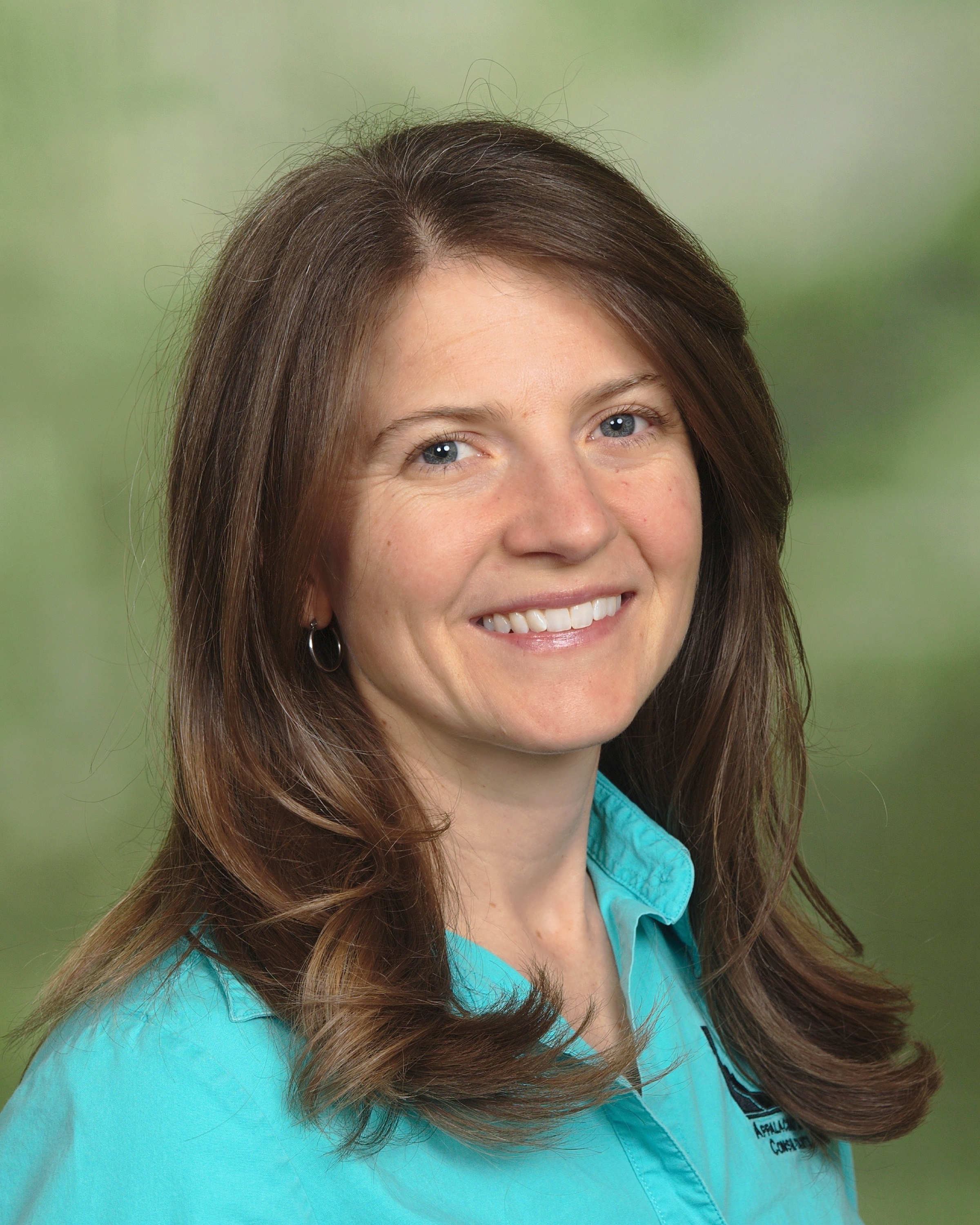
Jennifer Bauer, PG
Jennifer Bauer is the co-owner and principal geologist for ALC. She began her engineering geology career in 2001, and in 2005, began specializing in landslides and landslide mapping. She became a licensed geologist in 2005 in N.C., and is also licensed in TN. and GA. Jennifer graduated with highest honors in Geology from UNC-Chapel Hill and is a past President of the Association of Environmental and Engineering Geologists (AEG). She has a passion for identifying landslide hazards in the Appalachian Mountains and around the world order to help protect life and property.
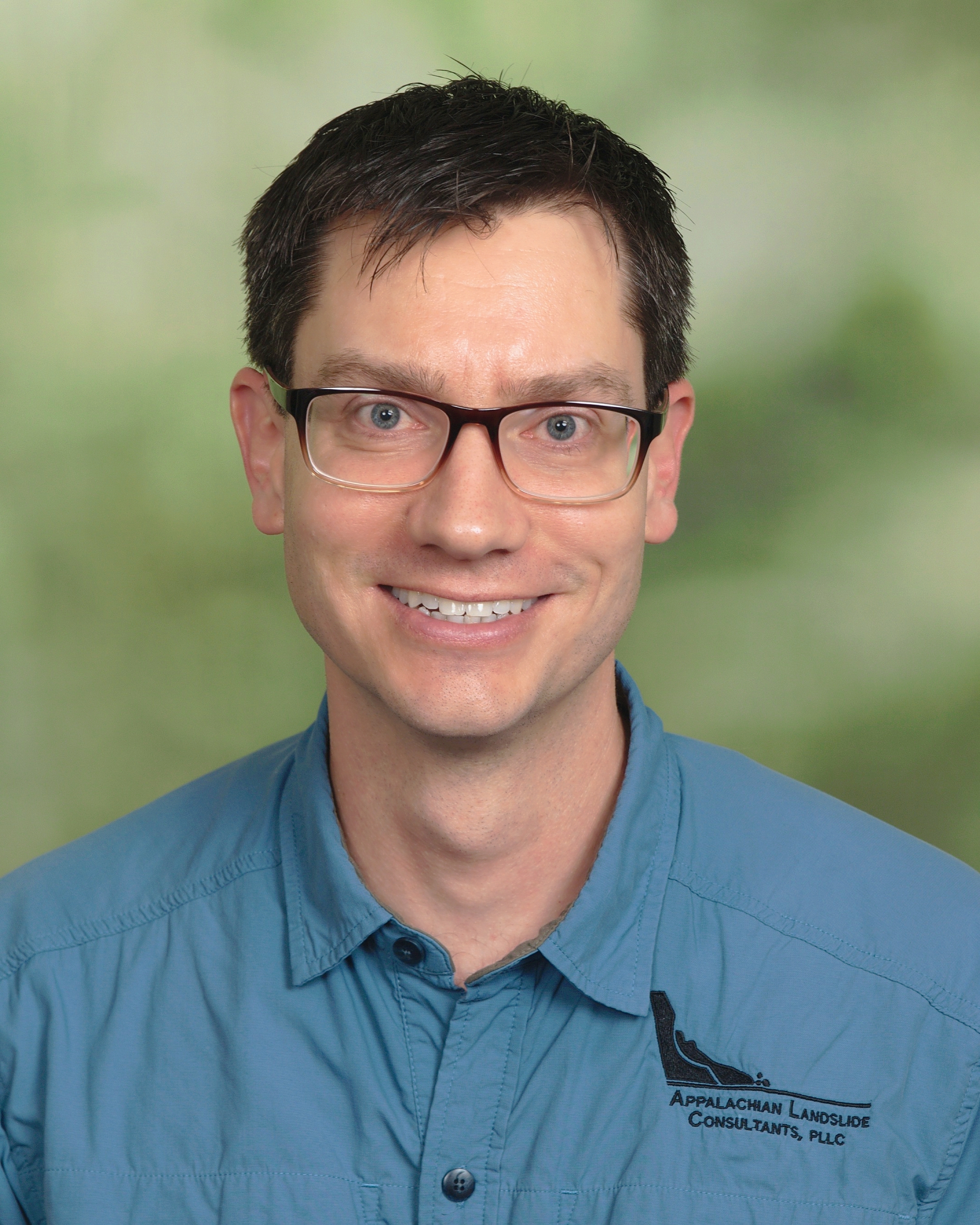
Stephen Fuemmeler, PG
Stephen Fuemmeler is co-owner and principal geologist for ALC. In 2004, Stephen began his career as a practicing geologist, with a focus on landslides, landslide mapping, and geographic information systems (GIS) since 2005. Stephen has a Graduate Certificate in Geographic Information Systems (GIS) and has completed coursework for a Master of Science in Geology. He became a licensed geologist in N.C. 2009 after graduating with a B.S. in Geology Summa Cum Laude from NC State University. Like Jennifer, Stephen shares a passion for identifying landslide hazards in the Appalachian Mountains and around the world.

Philip Prince, Ph. D
Philip S. Prince has worked in southern Appalachian geology since 2004. As an undergraduate at Furman University, Prince completed studies of southern Blue Ridge and Piedmont structure and petrology before switching his focus to surface processes at Virginia Tech in 2008. After teaching at Virginia Tech from 2012 to 2016, Prince began work as a mapping geologist with the Virginia Division of Geology and Mineral Resources (DGMR) in early 2017. He has delivered four 1:24,000 scale geologic maps since 2017, including a published full-length report on the Catawba quadrangle. This mapping includes both bedrock and surficial geology, requiring expertise in the identification and delineation of a variety of unconsolidated surficial deposits based on their mechanism of emplacement. Philip applies his lidar analysis and geological field mapping to landslide mapping and property evaluation projects for ALC. Prince has written extensively the applications of lidar for feature analysis on behalf of Virginia DGMR and on his personal blog, which is published by the American Geophysical Union.
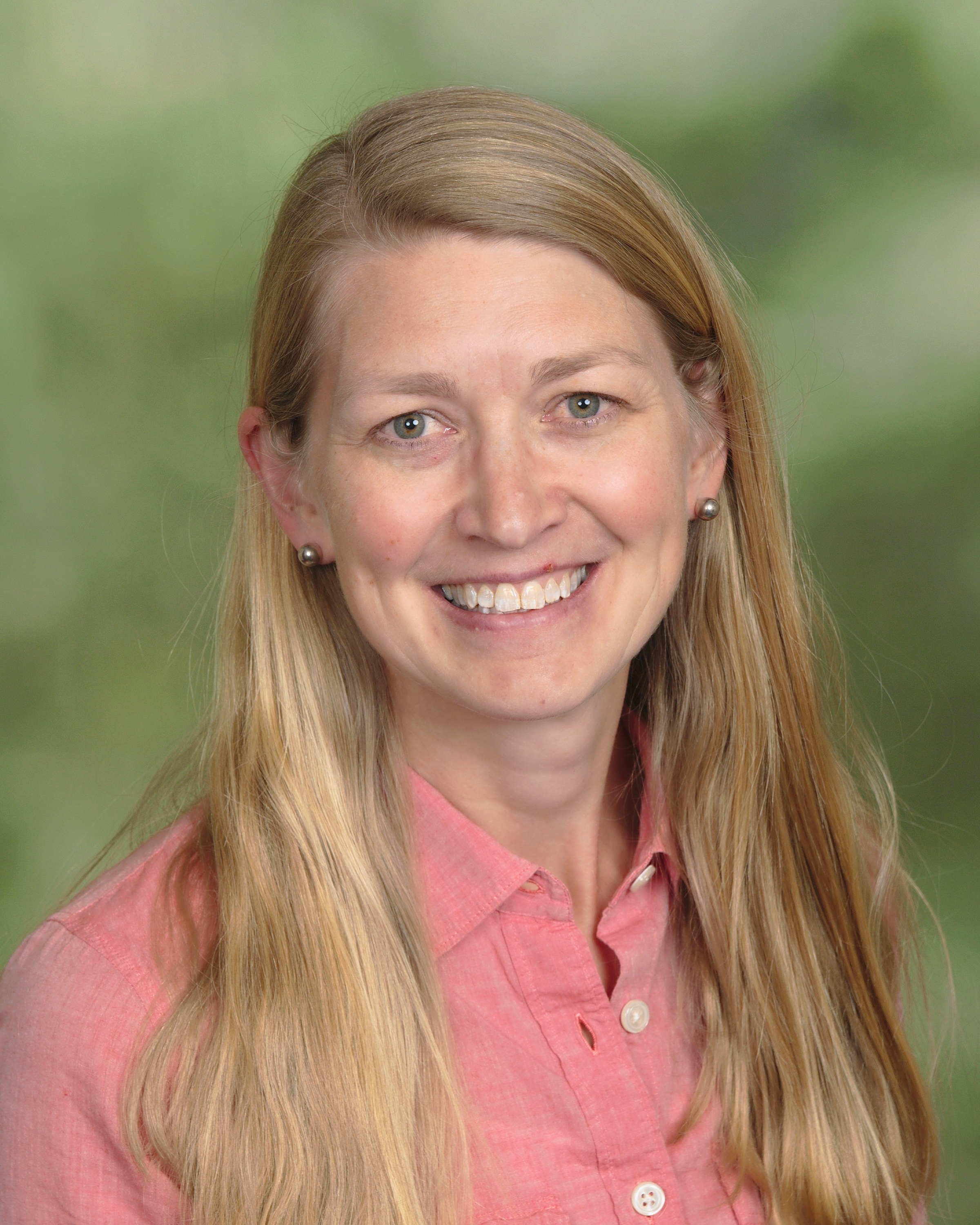
Rebecca Latham
Rebecca Latham has over 10 years of experience in landslide investigations. After finishing her masters degree in landslide characterization at the Colorado School of Mines, she spent time working as a geotechnical engineer (2002-2003) involved in rock and soil characterization and structural and rock slope stability analyses before beginning as a geologist with the North Carolina Geological Survey (NCGS) in 2003. Her work at the NCGS started with Phase I of a multiyear, geologic hazards project including the initial development of and data collection for the North Carolina slope movement database and became the first member of the NCGS’s landslide mapping team. Rebecca continues applying skills developed at the NCGS for landslide mapping with ALC. Rebecca is also involved in science education at area schools.
Jody Kuhne, PG, PE is an engineering geologist with a 31-year career in transportation and private geotechnical engineering. He holds a BS in geology from the University of North Carolina at Chapel Hill and also has non-degree coursework in civil engineering from North Carolina State University. Jody is registered in North Carolina as both a Professional Geologist and a Professional Engineer. Jody’s experience includes 11 years as project-level geotechnical staff and 8 years as regional manager of the Asheville field office of the Geotechnical Engineering Unit of the NCDOT while also serving as a slope investigation, design and mitigation expert for the mountain region of Western NC including many emergency response projects. Many of Jody’s other responsibilities include developing and conducting the Geotechnical Asset Management slope rating system for NCDOT and TN DOT, developing conceptual mitigation designs for rock and soil slopes, developing testing routines and mitigation plans for acid rock drainage, and project development design and oversight.
Jesse Hill, PhD is a project geologist who began his geology career in 2018 after completing his masters and doctoral studies at the University of North Carolina at Chapel Hill. He has over 13 years of geology experience in the southern Appalachian, with a focus on field mapping bedrock and surface features in western North Carolina and Tennessee. Jesse uses an iterative field- and remote-based analysis of lidar and orthophotography for surface mapping of landslides and other slope movement hazards, and conducts slope movement monitoring using slope inclinometers and surface observations. He uses GIS as a tool for landslide mapping and rock and soil slope ratings along transportation corridors. Jesse also has experience conducting mapping, core logging, and processing samples for economic mineral assays.
Gina DeBreto is a staff scientist with ALC. She assists with field mapping, GIS, and rock and soil slope ratings for geotechnical asset management projects. Gina’s background is in environmental education, and she brings her understanding of the earth to her work with ALC.

