
Without LiDAR, we might have missed these HUGE but subtle Helene landslides
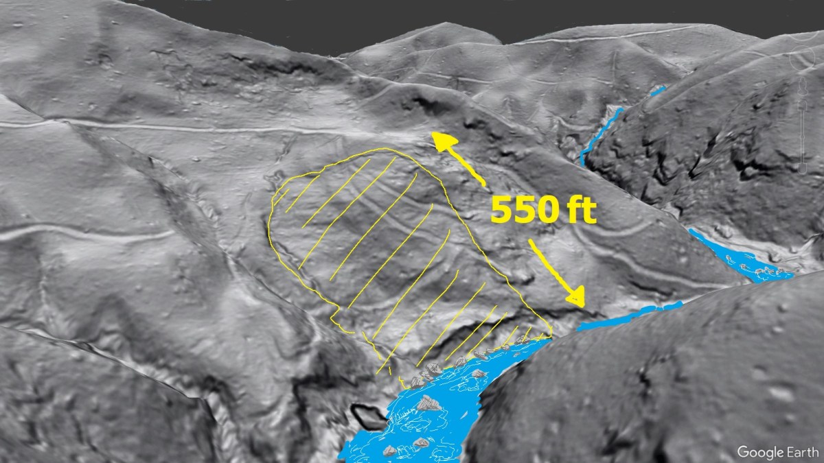
While Helene’s debris flows were the most devastating and acutely dangerous landslides of the storm, a significant number of large, slow-moving landslides were either reactivated or initiated by the extreme rainfall. This post shows two interesting reactivation examples. In both cases, erosion of an old slide toe by a flooding stream de-buttressed the slope to…
Keep reading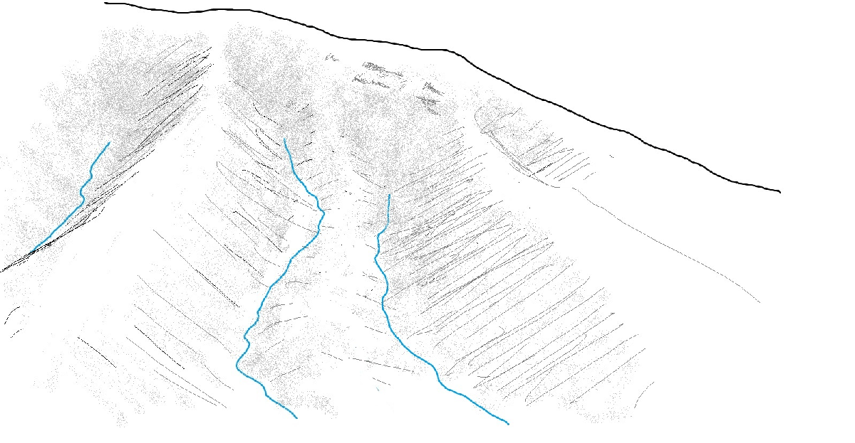
Field mapping of landslides is still important, even in the era of LiDAR and AI
Estimating where landslide debris is going to come to rest is an important part of hazard delineation. LiDAR change detection imagery has made evaluating landslide runouts much easier, with color-coded loss and gain zones providing at-a-glance information about where slides started and stopped. The Haywood County, North Carolina, debris flow shown below is a great…
Keep reading
A new look at a devastating landslide of the 1916 storm–the Jacks Branch debris flow
Note: This post is based on Jule Hubbard’s 2016 article, linked here. It’s a fascinating piece that does an excellent job capturing the human impacts of a notable landslide during the 1916 storm. You should give it a read before continuing… Prior to Helene, landslide geologists in western North Carolina devoted considerable energy towards studying…
Keep reading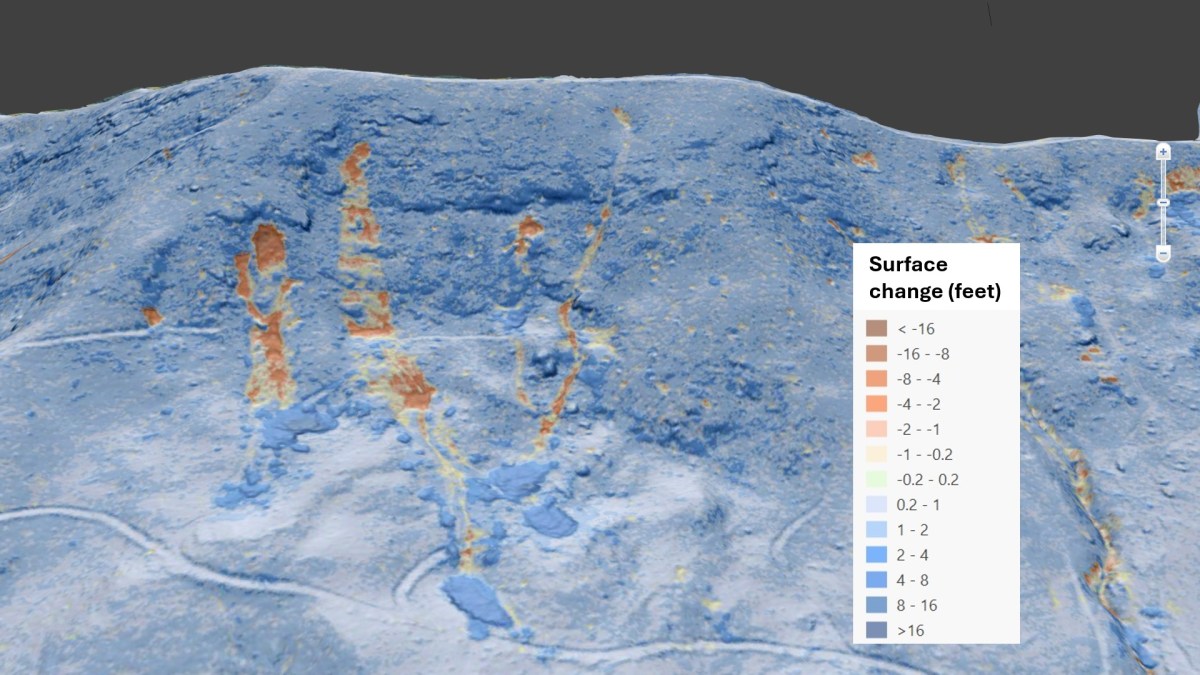
New lidar imagery shows the full extent of Helene’s impacts
by Philip S. Prince Over the last year, numerous collections of aerial imagery have shown Helene’s effects on western North Carolina mountainsides. This imagery has been useful in understanding the extent of the storm’s impacts on the landscape, but remaining tree cover and the natural irregularity of the landscape make it difficult to fully appreciate…
Keep readingSomething went wrong. Please refresh the page and/or try again.
